


Revolutionize Tree Management with Our GIS-Based Mobile Application

Unlock the Power of Data-Driven Tree Census
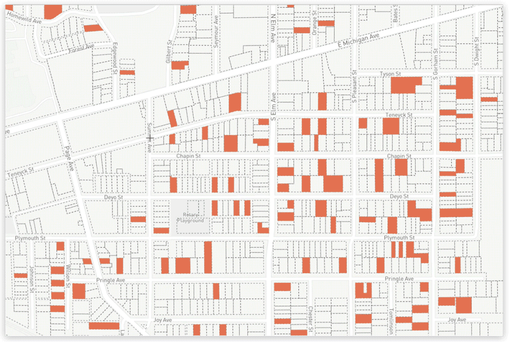
Our mobile application offers a cutting-edge solution for tree census management, harnessing the power of Geographic Information Systems (GIS) to map, monitor, and manage urban trees with unprecedented efficiency. Whether you're a municipality, environmental organization, or community group, our app enables seamless data collection, real-time updates, and precise tree tracking.
-
Accurate Data Collection
-
Empower your team with a mobile app that captures detailed information about each tree, including species, age, health status, and location, with GPS precision.
-
Collect data in the field with ease, ensuring accuracy and reducing human errors.
-
-
Real-Time Syncing and Updates
-
No more waiting for reports to be compiled. Our app syncs real-time data, keeping you updated on tree conditions and status.
-
Instant updates on tree health, condition, and growth patterns for better decision-making.
-
-
Advanced GIS Integration
-
Visualize and analyze your data through interactive GIS maps, with filters for tree types, age, condition, and more.
-
Easily locate trees in your urban environment, enhancing urban planning, conservation, and management.
-
Streamline Tree Management with Our Advanced GIS-Based Web Application
Empower Your Tree Census with Cutting-Edge Technology
Our web application offers an advanced platform for managing tree census data, integrating powerful GIS capabilities to help you track, analyze, and maintain urban trees efficiently. Designed for municipalities, environmental groups, and community organizations, our web-based solution offers a centralized, user-friendly interface to manage large-scale tree census operations with ease and accuracy.
-
Accurate Data Collection
-
Empower your team with a mobile app that captures detailed information about each tree, including species, age, health status, and location, with GPS precision.
-
Collect data in the field with ease, ensuring accuracy and reducing human errors.
-
-
Real-Time Syncing and Updates
-
No more waiting for reports to be compiled. Our app syncs real-time data, keeping you updated on tree conditions and status.
-
Instant updates on tree health, condition, and growth patterns for better decision-making.
-
-
Advanced GIS Integration
-
Visualize and analyze your data through interactive GIS maps, with filters for tree types, age, condition, and more.
-
Easily locate trees in your urban environment, enhancing urban planning, conservation, and management.
-
-
Enhanced Reporting & Exporting
-
Easily generate reports on your tree census data, with options to export in various formats like PDF, Excel, or CSV for government submissions or research.
-
Use our customizable templates to create reports tailored to your specific needs or stakeholders.
-
-
Scalable and Flexible
-
From small community initiatives to large-scale government projects, our platform adapts to your organization’s size and requirements.
-
Add new data points, map more trees, and scale your census efforts as needed without compromising performance.
-
-
Secure and Reliable
-
Trust in the security of your data with end-to-end encryption and regular backups to prevent data loss.
-
Manage access with user authentication, ensuring only authorized personnel can modify the data or access sensitive information.
-

Tree Survey at a Glance
We have seamlessly combined traditional methods with modern technology to collect comprehensive tree information. By integrating time-tested field survey techniques with advanced tools like GIS mapping, remote sensing, and mobile applications, we ensure accuracy and efficiency in data collection. This approach allows us to document critical details such as tree species, age, and health condition while preserving the depth and reliability of traditional practices. The result is a robust, data-driven system that supports sustainable tree management and conservation efforts.

STEP - 1
.jpeg)
Tree Identification
Each tree is meticulously identified by its species, age, and health condition, providing a comprehensive understanding of the urban forest. This detailed classification enables precise monitoring, targeted maintenance, and informed decision-making for conservation efforts. By combining these data points with GIS mapping, we create an accurate inventory that supports sustainable tree management and environmental planning.
STEP - 2

Location Mapping
We utilize advanced GIS (Geographic Information System) technology to accurately record the precise location of each tree. This cutting-edge approach ensures that every tree is geographically mapped, enabling detailed visualization and analysis. By pinpointing exact coordinates, our system supports effective monitoring, urban planning, and environmental conservation efforts, creating a comprehensive spatial database for sustainable tree management.
STEP - 3

Physical Attributes
We collect detailed data on essential physical attributes such as trunk diameter, tree height, canopy spread, and root health. This comprehensive information provides valuable insights into the structural condition and growth of each tree. By analyzing these attributes, we can assess tree stability, monitor development, and support effective maintenance strategies to ensure long-term health and sustainability.
STEP - 4

Environmental Impact
Our tree census evaluates the significant environmental benefits that each tree provides, including air purification, shade, and carbon sequestration. By assessing these contributions, we can better understand the vital role trees play in improving air quality, mitigating climate change, and enhancing urban livability. This data helps prioritize conservation efforts and informs policies that support a healthier, more sustainable environment.
STEP - 5

Data Analysis
The collected data is thoroughly analyzed to identify patterns in species distribution, tree health, and areas that may need improvement. This analysis provides valuable insights into the overall state of the urban forest, helping to prioritize maintenance, identify trends in tree growth, and detect potential environmental issues. By leveraging this data, we can optimize tree management strategies and make informed decisions for future sustainability.

Key Features of Service
Precise Data Collection: Leveraging GIS technology for accurate mapping and analysis.
-
Comprehensive Reports:
Detailed insights and visual representations, such as maps and charts, for better understanding and decision-making.
-
Customizable Solutions:
Tailored services for municipalities, urban planners, developers, and environmental organizations.
-
Real-Time Monitoring:
Continuous updates and tracking of tree growth, health, and removal through our digital platform.
Why Conduct a Tree Census?
- Urban Planning -
Helping local authorities monitor the growth of urban green spaces and ensuring that development plans align with environmental sustainability.
- Environmental Conservation -
Providing essential data to preserve biodiversity and maintain ecological balance by protecting trees.
- Air Quality Improvement -
Identifying trees that contribute to carbon sequestration and improving overall air quality.
- Policy Making -
Assisting government bodies in crafting policies related to afforestation, reforestation, and green urban infrastructure.
Media Reports


